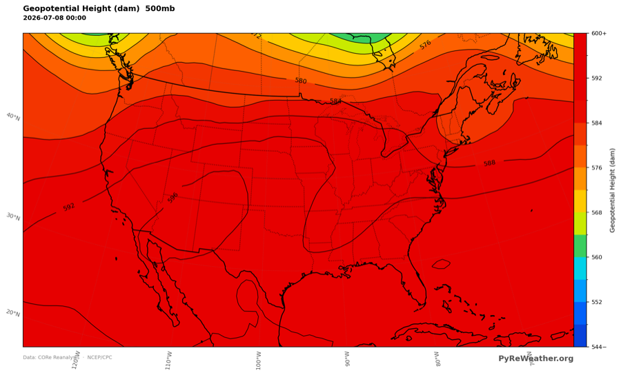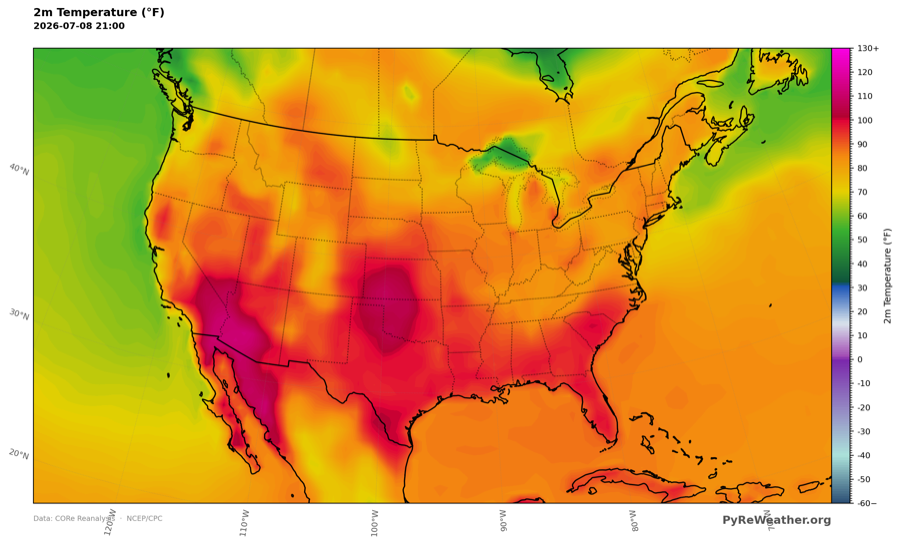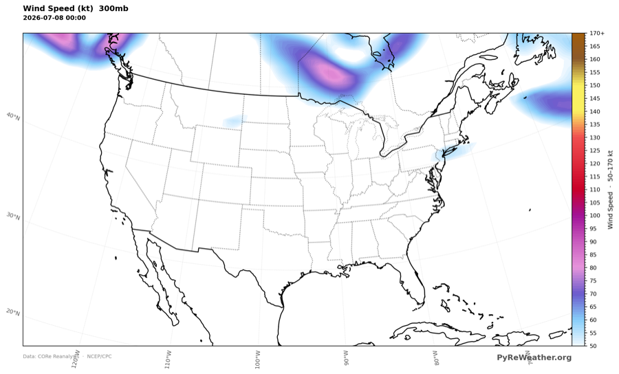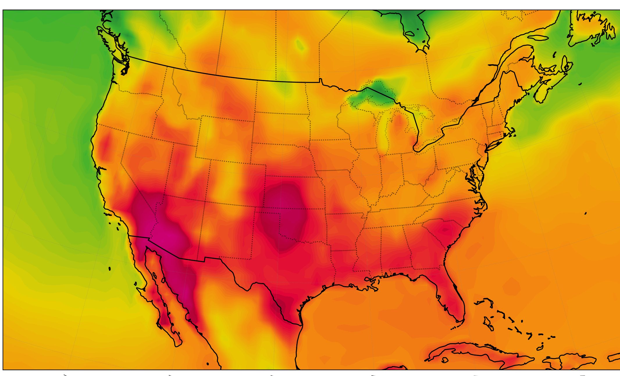
Last week in the Atmosphere
Click a map to see it full size. Open it in the builder to make it yours: change the variable, region, level, or overlays.Jul 6-12, 2026
 PyRe Weather
A climate reanalysis playground for students and researchers.
PyRe Weather helps meteorology students, teachers and researchers build custom atmospheric maps from any date since January 1st, 1950.
Click a map to see it full size. Open it in the builder to make it yours: change the variable, region, level, or overlays.Jul 6-12, 2026
Every item opens a live example in the builder.
With a free account, PyRe Weather becomes your best ally, whether you are a student, a teacher, a researcher or a storm chaser. Free unlocks anomalies, climatologies, longer time periods, and saved maps.
Every account gets early access to new features and helps shape where PyRe goes next, based on how you actually work.
No account? You can still build maps and save the images to your computer, but they disappear as soon as you navigate away from the builder.
Free while PyRe is young. Paid plans will come as the site grows. Already have an account? Sign in from the header.
New here? The FAQ covers the data sources and how the maps are computed.
PyRe is free to use, but the data, compute and hosting behind every map are not. If PyRe saves you time, a donation of any size keeps the maps coming.
Yes. No attribution needed.
Yes. Please link to the PyRe home page in the body of your post.
Yes. We know how onerous links are in social posts. For two or three maps per post there is no need to link back, but we appreciate it when you can.
Yes, we would love it if you used our maps! Please put a link to the home page in the description of your video.
Yes. No attribution needed, no permission to request.
Yes. Create an account and email support@pyreweather.org so we know where the maps are being used. We will add you to the Collaborators section of the About page, and you can link back to PyRe from the credits of your article or video.
If you love how easy it is to make atmospheric maps, please share them with friends, on social media, with your professors and with your students.